"The
Long and Winding Road"
Day Six is a travel day. And
it is a long one at that. Our host highway today is U.S. Route 83, one of the
longest north–south U.S. Highways in the United States, at 1,885 miles (3,034
km). The highway's northern terminus is north of Westhope, North Dakota, at the
Canadian border, where it continues as Manitoba Highway 83. The southern
terminus is in Brownsville, Texas, at the Veterans International Bridge on the
Mexican border, connecting with Mexican Federal Highway 180. Despite its length,
it has comparatively few concurrencies with any Interstate highways, and those
segments are short. In no place has it been decommissioned as a route.
According to iPad maps, my route today was 262 miles
with a travel time of 4 hours and 51 minutes from North Platte, Nebraska to
Pierre, South Dakota. And with pit stops and lunch along the way, my trip time
was 5 hours and 22 minutes. Though I did have sustained winds of 20 to 30 mph
out of the northwest just about the whole way. Better than the 45 to 55 mph
with gusts to 70 back two years ago.
As you can tell from our title today, we are keeping
with our song theme. Per the folks at Wikipedia.Org, the above song is a ballad
written by Paul McCartney (credited to Lennon–McCartney). According to the
folks at Wikipedia.Org, it is the tenth track on the Beatles' album Let It Be.
It became the group's 20th and last number-one song in the United States on June
13, 1970 and was the last single released by the quartet while all four
remained alive.
The
trip was pretty much uneventful. Fall colors about just about the whole route. A
number of large fields had little black dots in the distance representing Black
Angus cattle. Lots of the corn fields were pretty much stubble and waiting to
be plowed under for the season.
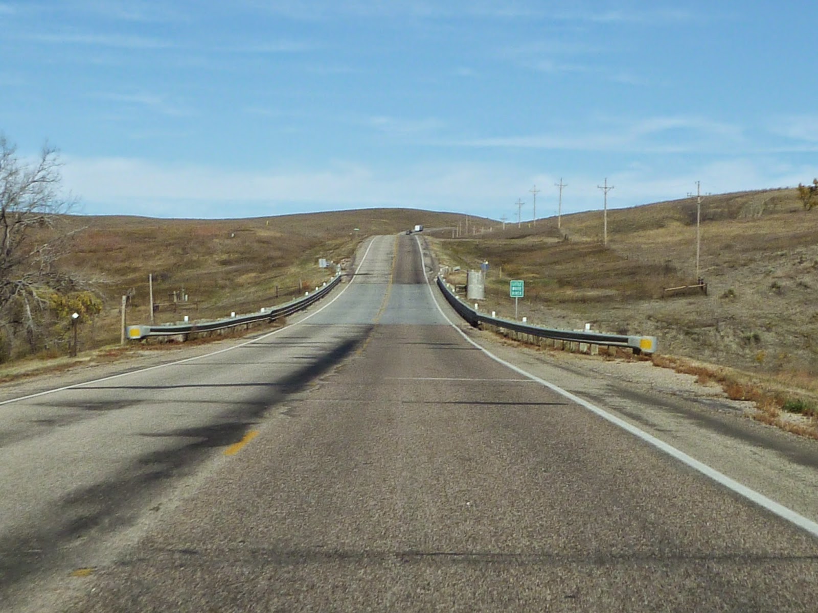
As
you go north towards South Dakota, the terrain changes quite a bit. What was
pretty much flat prairie has now become rolling hills yet still when you
conquer these hills, the views are quite breathtaking.


About
halfway between North Platte and Thedford, I was greeted with road construction
signs, literally in the middle of nowhere. A bridge was in the latter stages of
being rebuilt. And in that process, all the drivers took turns going across.


And
let’s just say it’s a long was down to the bottom of the gorge.
Pit
stop 1 is in Thedford at the Conoco gas/convenience store. No sooner am I
there, I see in the distance the familiar triangular shape of the headlights of
a westbound Burlington Northern Santa Fe (BNSF) empty coal train heading for
the Power River Basin coal mines in Eastern Wyoming. They are the other player in
the state of Nebraska for freight and more importantly coal.


At
about 10:30am, the next segment of my journey beings. More rolling hills and gaining
altitude in little bits; winds are persistent. About 10 miles due
south of Valentine, there has been this old railroad bridge that I have seen
and usually took a pic as I drove by. Today, I stopped and got a few pictures.


The bridge goes across the Niobrara River and was part of a railroad built by
the Fremont, Elkhorn and Missouri Valley Railroad (a predecessor company of the
Chicago & North Western Railway) in the late 1870s and early 1880s; the
"Cowboy Line" was abandoned by the C&NW in 1992. The following
year, the Rails-to-Trails Conservancy purchased the railroad's right-of-way for
$6.2 million and donated it to the state of Nebraska. The Nebraska Game and
Parks Commission are responsible for the development and maintenance of the
trail. I was trying to find a parking lot to take some pictures but to no avail.
Maybe in 2016 we’ll give it a try.
Pit
stop 2 is lunch at the Shell Oil/McDonalds rest stop at about 11:45am and soon
we are back out on Route 83. Nine miles later, I arrive at the second state in
our travels: South Dakota.

And right on the northern part of that border
is the Rosebud Reservation Casino.

And
in the parking lot is an odd group of tractor-trailer trucks. The first one had
a many-wheeled, low strung flatbed trailer with his humongous steel cylinder on
its side.


Per Gary the driver, the unit is a grain dryer used in the processing
of corn into ethanol and was on its way to just over the Canadian border. According
to the sign on the truck’s cab, the shipping company is based in Calgary,
Alberta, Canada and Houston, Texas USA.
Alongside
this big rig was another flatbed tractor trailer but this one was carrying
something that I readily knew what it was.


It turned out to be the center
portion of a high speed railroad crossover, put together like the snap track
you can buy at any hobby store. According to the driver, he was headed to
Minot, North Dakota where the BNSF is upgrading and expanding their railroad network
due to the large shipments of crude oil from the Bakken Oil Fields located in
North Dakota, with portions in Montana, Saskatchewan, and Manitoba. As of 2013,
the Bakken produced more than ten percent of all US oil production. So it is a
busy day on Route 30. And I have to say I must have seen a half a dozen Walmart
trucks on this route in my travels today.
Pit
stop 3 is in Mission for fuel and I head further north into South Dakota. At
about this time, I get a couple of text messages about our dad from my younger
brother Paul. I give him a buzz and find out that I have excellent communication
with my Verizon iPhone. God knows where the towers are, but I got 4 out of 5
dots. And full LTE service. Fancy that!! Dad is doing well and Paul asks about
some items to do with our family’s beach house. It’s almost that time of year
to drain the pipes and close up. Though it never really is closed up
considering I have some of my ham radio/railroad gear there. But that is a
whole other story. And I just want to say thanks to Verizon Wireless and their
very tall towers out here.

There
are a few places where communication was of the 1X phone/text capacity but for
better part of this trip, LTE wireless service has been plentiful. Many thanks
to my CWA brethren for keeping the family life line open back to
Connecticut.
And
this long and wind road has such incredible views of the prairie that my
pictures just don’t do it justice. Except for this modern highway I am on, the
land out here is pretty much what it was when settlers moved to here in the
late 1800’s.


Pit
stop 4 is in Murdo and then eastbound onto Interstate 90. Yup, the same exact highway
that originates in the east in Boston, Massachusetts. Road speed is 75 mph and
the winds have no effect on my car. Twenty two miles later, it is back onto
U.S. Route 83 (though I never really left it) and the views are something:


I
arrive in Pierre, South Dakota at 2:26pm CDT. Once unloaded and after a nice
hot shower, it is time to relax until I meet up with my friend Jenn at 6pm at
her house for dinner.
Tomorrow,
we’ll be going to a new part of South Dakota, well, new for me anyway. Winds
will be on the order of 15 to 25 mph. Sunny skies. A journey to find another
one of those elusive TV towers. And, whatever else happens. Stay tuned.
I’m
Philip J Zocco. On The Road. In Pierre, South Dakota.
No comments:
Post a Comment